
Walk a Cabot Street
A current Cabot address can establish a parcel and its owner of record, but it cannot by itself prove who sleeps there. The practical by-address path joins the Lonoke County assessment roll to parcel geometry, deeds, plats, permits, and carefully limited household sources. Keep the original spelling of each owner, parcel number, situs address, mailing address, and legal description. Those identifiers prevent a match on a similar street or a person with the same name.
- Enter the house number and a short street fragment in the Lonoke County property search. Open the parcel card and separate the physical or situs address from the owner's tax-mail address.
- Use the Map action on that result. Confirm the road, parcel shape, and nearby parcel IDs before moving along the segment one polygon at a time.
- Copy the legal description and latest deed reference. Use them to request the recorded transfer and then work through earlier grantors and grantees.
- Ask Cabot Planning and Zoning for permit records by address and date span. The city publishes application forms, but no public permit-result index was verified.
- Use voter information only through a lawful channel, then consult library newspaper or verified reverse-directory holdings for historical occupants. VoterView itself cannot list a street.
This sequence keeps ownership, occupancy, and Cabot building history distinct. It also gives a by-street search a sound fallback when one form does not recognize an address.
Search Cabot Parcels by Address
The Lonoke County actDataScout property search is the strongest online start for Cabot records by address. Basic public searching is free and needs no account. The portal recommends entering less text when an exact query fails. Try the house number with a Cabot street fragment, then remove a suffix or direction. Results can include the owner, mailing and physical addresses, parcel ID, legal description, value fields, transfer clues, building facts, and links to the parcel view and map.
| Search control | Input | Required | Best use |
|---|---|---|---|
| Business/First Name | Text | No | Owner or entity first portion |
| Last Name | Text | No | Owner surname and variants |
| House Number | Text | No | Physical address number |
| Street Name | Text | No | Short street fragment first |
| Parcel/Assessment Number | Exact text | No | Direct parcel match |
| View / Map | Result actions | No | Open the card or street geometry |
The portal's property-search help explains field behavior and update timing. The captured screen below preserves that Cabot street lookup aid.
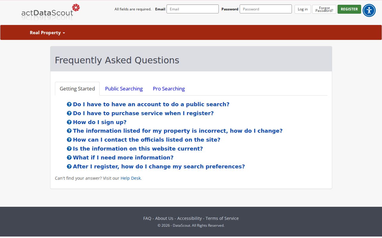
Use the help screen to loosen a failed query before assuming the parcel is absent.
Read Cabot Street Addresses Correctly
Three address forms can appear in one parcel trail. A situs address is the physical place assigned to the land. A mailing address is where the tax notice goes, which may belong to an absentee owner, a trust administrator, or an owner who simply prefers another mailing point. The legal description identifies the land through subdivision, lot and block or through metes and bounds. It survives postal edits better than a street number.
- Parcel
- A locally identified unit of land used for assessment and mapping.
- Situs address
- The physical address attached to the parcel, distinct from the owner's mailing address.
- Plat
- A recorded drawing that sets out subdivision lots, blocks, streets, easements, and common areas.
- Criss-cross directory
- A volume arranged by address or telephone number rather than only by surname.
A matching situs and mailing address, along with a homestead indication, can support owner occupancy. It still does not name a full household. Renters, children, roommates, and people without a listed phone can remain unseen.
Note: Treat an Amendment 79 homestead entry as a clue, since exemptions may lag and do not form a resident roster.
Browse Cabot Streets on GIS
Open Map from a verified property result rather than guessing the numerical order of homes. Zoom until the road and parcel outlines can be read. Then click adjoining polygons and log the parcel ID and situs for each result. Corner tracts, vacant land, cul-de-sacs, and lots made from several parcels can break a simple house-number sequence. The research did not verify a buffer tool, zoning layer, flood layer, current imagery date, or survey-grade boundaries, so none should be inferred.
The Lonoke real-property and map entry point supplies the parcel context shown here.
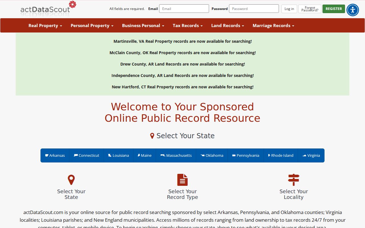
The map links neighboring shapes to property cards, while the cards keep mailing and situs facts separate.
Cabot Street Records by Source
No Cabot street directory source is complete. The assessment roll and map are direct address tools. Deeds are usually keyed by party and legal land description. Permits can be requested by project address, while voter and library sources have strict purpose, access, or coverage limits. The records below work as a chain because the parcel number and legal description hold the land identity steady.
| Address source | Local keeper | Street evidence | Available route |
|---|---|---|---|
| Assessment roll | Lonoke County Assessor | Owner, situs, mailing, parcel, values | Free actDataScout or Cabot counter |
| Parcel map | Assessor / actDataScout | Road and adjoining parcel geometry | Map action from a public result |
| Deeds, liens, plats | Circuit Clerk / Recorder | Transfer parties and legal land identity | Email, mail, fax, or Lonoke counter |
| City permits | Cabot Planning and Zoning | Project site, applicant, work, dates | Address and date-range records request |
| Voter information | County Clerk / VoterView | Personal registration and precinct context | Self lookup or confirmed lawful release |
| Historic sources | Cabot Public Library | Newspaper addresses and possible listed occupants | Microfilm and genealogy appointment |
Begin with the source keyed most directly to the known fact. An address goes to the assessor. A document number or book and page goes to the recorder. A permit question goes to Cabot Planning. A past household question goes to the library after the land itself is fixed.
Build Cabot Street Deed Chains
The Lonoke County Circuit Clerk is the ex-officio recorder for deeds, mortgages, liens, plats, and other real-estate instruments. A modern address is not the safest deed key. Take the parcel's legal description and latest transfer reference from the assessor card. Obtain that deed, identify the seller as grantor and buyer as grantee, then search the seller as an earlier buyer. Repeat only when the legal land remains the same.
The recorder's official website does not publish the cutoff for online indexing or images. That makes the fallback part of the method. Send a focused email request with names, a narrow year range, legal description, and any book, page, or document lead. Requests are handled in order. Approved fax copies cost $1 per page including the cover; certified copies are prepaid and mailed after a quote.
The recorder contact and copy instructions show the channels available when a Cabot street search reaches the remote limit.
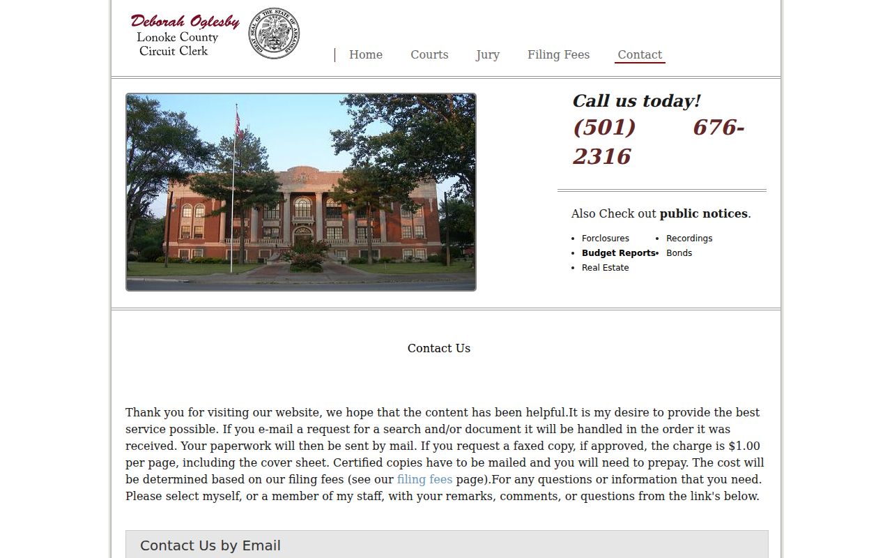
This contact route connects current parcel data with older recorded transfers without inventing an online coverage year.
Request Cabot Permits by Address
Cabot publishes applications for new construction, accessory buildings, demolition, decks and patios, general changes, remodeling, inspections, signs, and solar panels. A completed file may identify the project address, owner or applicant, contractor, scope, valuation, subdivision or legal description, and approval or inspection dates. These facts can date changes along a street, but a permit does not prove that the named person lived at the site.
No official public permit-result or code-case search was located. Use the Cabot permit application library to identify the record type, then ask Planning and Zoning for records by exact address and a practical date span.
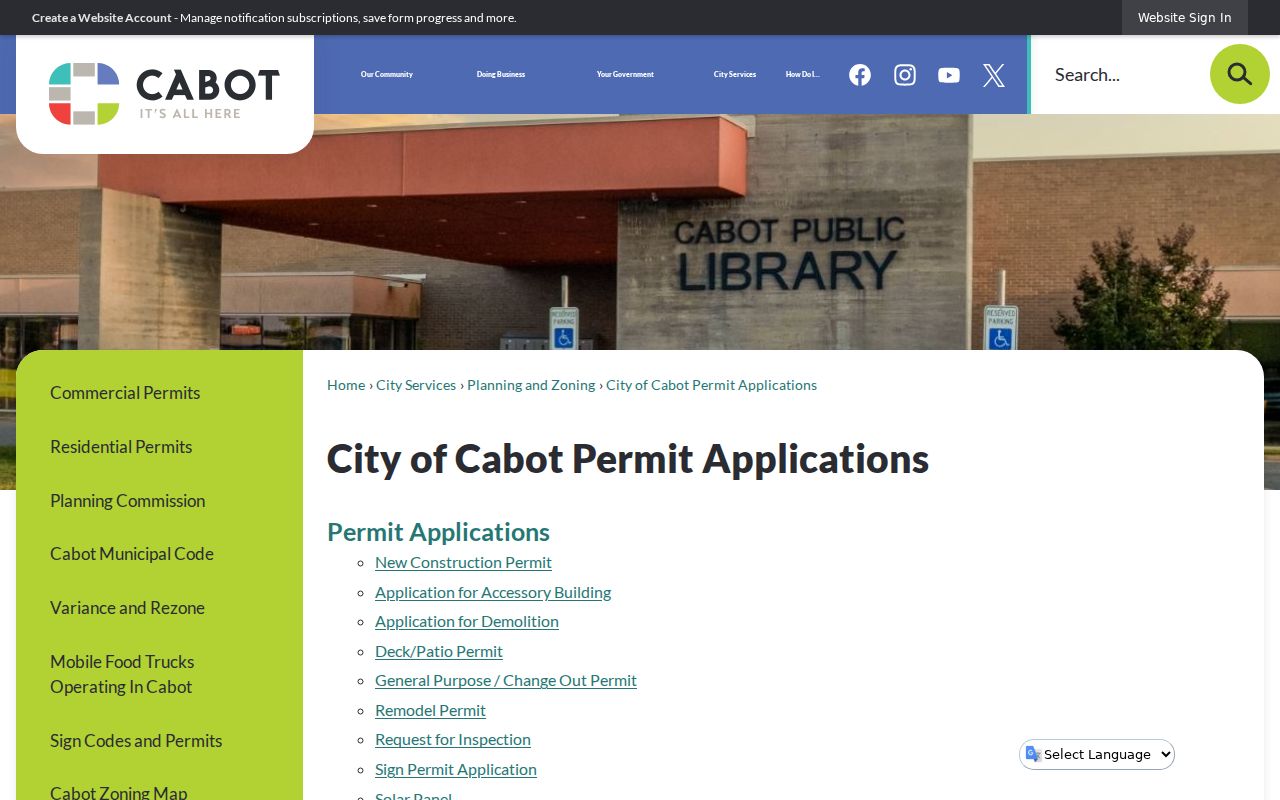
The form list helps frame a narrow request for work tied to one Cabot property.
Test Cabot Street Jurisdiction
A Cabot mailing label does not prove that land lies within the incorporated city. The verified postal ZIP is 72023, but ZIP routes serve mail delivery and can cross municipal lines. First use the official postal lookup for the recognized address. Then use the county parcel map and city records to establish county and municipal jurisdiction. Nearby Austin, Ward, Jacksonville, and Little Rock Air Force Base ZIP contexts should not be folded into Cabot merely because people share schools, work routes, or services.
The USPS city and state ZIP lookup provides the postal half of that check.
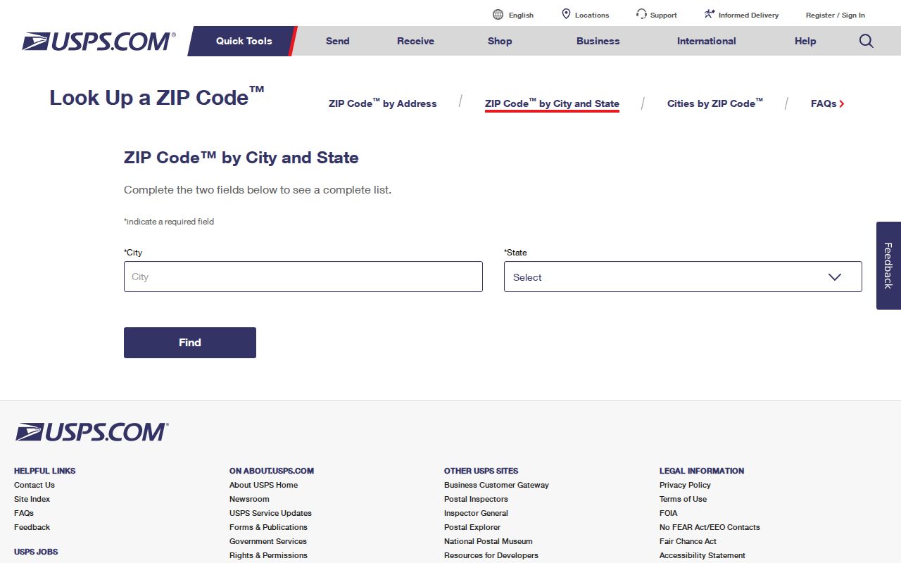
Postal confirmation should be followed by the land and jurisdiction check, not treated as its substitute.
Note: Report a postal label and city jurisdiction as separate facts when the parcel map does not place the address clearly inside Cabot.
Read Older Cabot Streets
Cabot's recorded city plat was filed on September 25, 1891, creating the first stable municipal lot-and-block framework. The only Cabot Sanborn fire-insurance edition located online is from July 1913. It can show streets, building outlines, materials, and uses, not the people inside. Federal census schedules from 1880 and 1900 through 1950 can add households at ten-year intervals, while local newspaper microfilm bridges some years through obituaries, advertisements, legal notices, and community news.
No verified Cabot-wide street renumbering year or published reverse-directory run was found. Ask the Lonoke County Libraries genealogy service to identify any address-arranged telephone or criss-cross volume before citing it. The deeper shelf and collection context belongs on the Cabot city directory page.
Cabot Streets After the Tornado
The March 29, 1976 tornado killed five people and destroyed much of Cabot's business district. Rebuilding changed structures and public facilities, and CabotFest began in 1978 under the phrase “Cabot, We're Back.” For street directory research, the disaster creates a real evidence break. A current parcel may occupy the same land while the building and use are much newer.
Compare the legal description, parcel shape, pre-storm deeds and tax evidence, newspaper accounts, and post-storm permits. Do not assume an address means the same structure survived. This method also helps with later subdivision and annexation growth, when postal language may remain steady as local jurisdiction or parcel form changes.
Voter Limits on Cabot Streets
Arkansas VoterView is designed for a voter to confirm registration, polling place, and sample ballot with name, date of birth, and county. It is not a public by-street browser. Do not guess a birth date or describe the tool as a way to enumerate a Cabot block. A lawfully released county file might permit address sorting after the Lonoke County Clerk confirms which fields may be disclosed, the format, actual cost, and use limits.
Secure-voter addresses are confidential under Ark. Code Ann. §7-5-112. Participation history, if lawfully released, can show that a person took part in an election, never a ballot choice. Arkansas also does not use permanent party registration in the same way as party-registration states. An inactive or missing entry may reflect a move or list maintenance, not proof that someone never lived at an address.
Cabot Street Directory Boundaries
A property roll names the owner of record, not all Cabot residents. It can miss renters, children, roommates, and unlisted phone users. A different tax-mail address does not reveal why it differs. Department of motor vehicle addresses are restricted by the federal Driver's Privacy Protection Act. Municipal water, delivery, and customer data do not become an open street directory merely because a public body provides the service. Court pleadings may also be redacted, sealed, or absent from a public index.
Use the source that answers the narrow question, and verify at the custodian. Maps are not surveys. Deeds show legal transfers. Permits show work. VoterView verifies one voter's own status. Historic sources reflect only the moment and people they recorded.
Lawful use. Cabot address records support family history, property research, and civic curiosity. Never use them to stalk, harass, threaten, or expose a protected person.