
Cabot ZIP Directory Coverage
USPS verifies 72023 as Cabot's city ZIP. No official Cabot or Lonoke County source in the research documented a second Cabot-serving code, a PO-box-only code, a unique institutional code, a split year, or ZIP-level population. The table therefore contains the one verified code and does not pad the Cabot ZIP code directory with nearby places. A postal address using “Cabot” can still lie outside the incorporated city, so the parcel and municipal context remain separate checks.
| ZIP | Areas Covered | Post Office | Notes |
|---|---|---|---|
| 72023 | Cabot postal addresses and surrounding delivery territory | Cabot Post Office; confirm official location through USPS Locations | Postal name does not prove Cabot city jurisdiction |
Nearby codes must not be folded into Cabot simply because people use regional schools, firms, or services. Austin uses 72007, Ward uses 72176, and Jacksonville or Little Rock Air Force Base contexts use 72076 or 72099. Start with the USPS ZIP Code Lookup. Its “By City and State” mode verifies a recognized city label. Its “By Address” mode is better for one property.
Cabot ZIP Is Not City Limits
A ZIP is a mail-delivery scheme. It does not define incorporation. Cabot is wholly within Lonoke County, yet 72023 delivery territory can extend beyond the city line. That distinction decides which public body holds a record. Cabot permits, ordinances, and city services depend on municipal jurisdiction. Deeds, probate, elections, and assessment remain county functions even when the mailing label says Cabot.
The quirk is especially useful here: Cabot is Lonoke County's largest city but is not the county seat. The courthouse is in Lonoke, about 14 to 20 road miles southeast. A Cabot postal search may begin at home, while the official deed or probate file still requires the Lonoke County office. Postal geography guides mail. It does not move custody of the record.
Verify Cabot ZIPs With Parcels
Use two official systems for one address. USPS confirms how mail should be written. The Lonoke County actDataScout property search connects the physical site to a parcel and map. On the parcel card, keep three address forms apart. The situs is the physical location. The owner mailing address is the tax-contact destination and may be elsewhere. The legal description identifies the land despite later postal or street changes.
- Run the full address through USPS “By Address” and save the standardized city, state, ZIP, and any ZIP+4 shown.
- Search actDataScout by house number and street. Remove a suffix or use less text if the first search misses.
- Open the parcel card and map. Compare situs, owner mailing address, legal description, road, and parcel shape.
- Ask Cabot Planning at 501-843-4819 or the assessor about an address that remains unclear.
No public Lonoke actDataScout ZIP filter was verified. Advanced fields may use an owner's mailing ZIP rather than the parcel's situs ZIP. Do not call an advanced result a ZIP-wide Cabot owner list unless the live field label and meaning are clear. If the web result fails, the Lonoke County Assessor maintains a Cabot counter at 1604 S. Pine Street, Suite E. Bring the full street address and ask staff to identify the parcel and situs.
Find Cabot Residents by ZIP
A safe ZIP-based search narrows a place, then verifies one known person or property through the correct source. No verified portal can produce a complete 72023 resident list. The assessor identifies owners, not all occupants. VoterView is an identity-gated self-lookup, not a ZIP or street browser. City permits and newspaper items are event records. Each source leaves out people by design or by scope.
- Verify the person's known address through USPS and confirm that 72023 is the current delivery code.
- Match the site to a Lonoke County parcel, taking care not to equate the owner with every person who lives there.
- Use VoterView only for the voter whose name, birth date, and county are properly known.
- For a lawfully releasable voter-file question, ask the Lonoke County Clerk what fields, format, costs, and limits apply.
- Move to a street only after the postal and parcel geography agree.
The clerk did not publish a voter-file purchase form, price, street-search interface, or ZIP summary. Secure-voter addresses must be removed from any lawful release. Send a narrow records question to the Lonoke County Clerk or visit 301 N. Center Street in Lonoke. Once one code has been narrowed to a road, the Cabot street directory explains the distinct street-level record chain.
Cabot ZIP Searches and VoterView
The Arkansas VoterView form confirms personal registration status, polling location, and sample-ballot information.
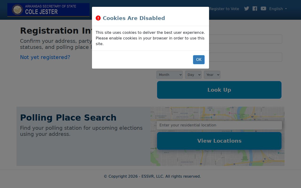
The screen requires identity facts and a county choice, which is why it cannot enumerate people across ZIP 72023.
| VoterView field | Input type | Required | Use |
|---|---|---|---|
| First Name | Text | Yes | Voter's registration name |
| Last Name | Text | Yes | Registered surname |
| Date of Birth | Date/text controls | Yes | Identity check; not a public output field |
| County | Dropdown | Yes | Choose LONOKE for Cabot |
| Search | Button | Yes | Runs the personal lookup |
The Arkansas Secretary of State voter information page links residents to the official registration tools.
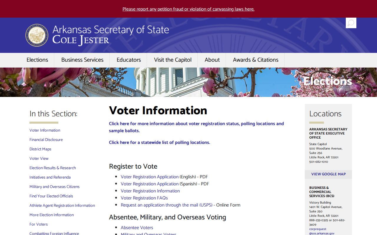
This state hub is the right starting point for registration and election help, while the Lonoke County Clerk administers the local file.
Three Addresses in Cabot Records
A postal ZIP can appear in more than one role, and those roles should never be blended. A situs ZIP describes the physical site as shown in an address-based record. A mailing ZIP describes where the owner receives tax mail. The owner may live there, live elsewhere, use a business office, or rely on another mailing preference. A deed's legal description does not depend on either ZIP.
- Situs address
- The property's physical location used by the assessor, parcel map, permits, and emergency addressing.
- Mailing address
- The destination for tax notices or owner contact, which can be outside Cabot and does not prove occupancy.
- Legal description
- The land's recorded identity, often by subdivision, lot, block, or metes and bounds.
- ZIP+4
- A delivery refinement for a small mail segment, not a new city or jurisdiction boundary.
Cabot's 1891 plat is the earliest stable lot-and-block framework. The July 1913 Sanborn map captures the early railroad core. Modern subdivisions use newer plats, while rural tracts may use metes and bounds. When a postal label changes, the legal description is the bridge that stays with the land.
Protected Addresses in Cabot ZIP Records
Arkansas law does not turn every government-held address into directory data. Secure-voter status shields a domestic-violence victim's address under Ark. Code Ann. §7-5-112. The address is confidential and outside the Arkansas Freedom of Information Act. VoterView also requires a birth date and is designed for personal confirmation, not guessing or bulk discovery.
The official Arkansas secure-voter rule sets out the address-shielding framework.
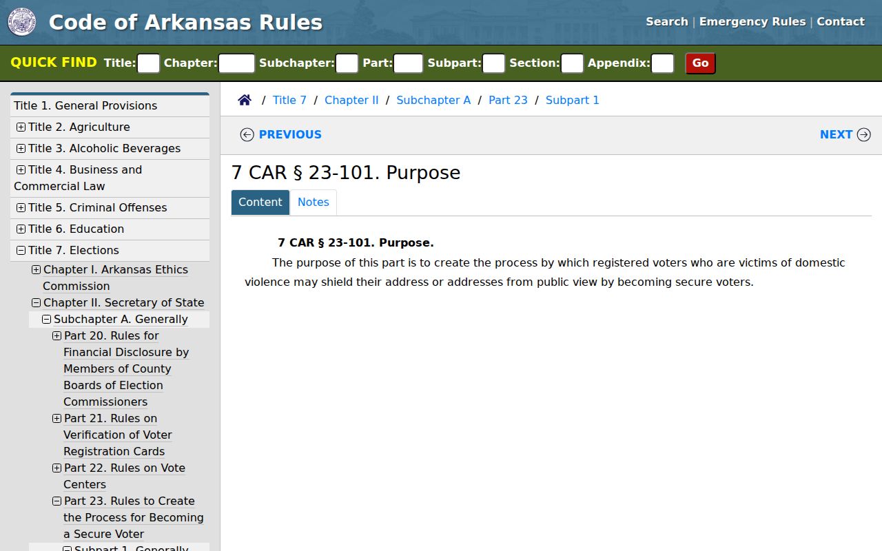
The rule is a firm stop: never try to reconstruct a protected Cabot address from parcel, neighbor, court, or ZIP clues.
The Arkansas DFA Driver Services forms page also publishes Address Confidentiality Program materials.

Those forms reinforce the difference between lawful public geography research and an attempt to expose someone whose address has been protected.
Read Cabot ZIP Boundary Terms
The Cabot postal directory works only when postal terms are used in their narrow sense. ZIP 72023 can describe a delivery territory larger than incorporated Cabot. A ZIP+4 narrows delivery but still does not draw the city line. PO-box and unique codes are valid ZIP types in general, yet no official source verified either type specifically for Cabot. Carrier routes are operational delivery groupings, not resident rolls.
- ZIP
- A USPS delivery-area code that can cross a municipal boundary.
- ZIP+4
- A nine-digit delivery refinement for a smaller mail segment within a ZIP.
- PO-box ZIP
- A code used mainly for post-office boxes; none was verified as Cabot-specific.
- Unique ZIP
- A code assigned to a high-volume organization; no Cabot example was verified.
- Carrier route
- A mail-delivery path or grouping, not a complete list of people living in its area.
Other boundaries answer other questions. Cabot limits determine city jurisdiction. Lonoke County determines the courthouse custodian. School, ward, fire, and voting lines have their own purposes. Confirm each layer from the agency responsible for it rather than asking one postal code to settle them all.
Cabot ZIP Geography Through Growth
Cabot began along the Cairo and Fulton Railroad and later spread through subdivisions and annexation. The city grew from 2,903 people in 1970 to 26,569 in 2020. That more than ninefold rise explains why older names cluster in deeds, farm and rural-route records, churches, census schedules, and newspapers, while newer residents leave more parcel, plat, permit, court, and business records.
Growth also makes a modern postal label a poor shortcut for an old address. The original railroad core, postwar streets, rapidly built subdivisions, nearby Austin and Ward, rural Lonoke County, and Jacksonville or Little Rock Air Force Base ties can all appear in one family trail. Verify postal changes through USPS. Use plats and legal descriptions when the label shifts. No official ZIP split or realignment year was found, so none should be guessed.
No official ZIP-level population count was found for Cabot. City census totals and the postal territory describe different areas, so dividing a Cabot population number among postal routes would create false precision. Keep demographic claims tied to their published geography. Keep delivery claims tied to USPS. That same rule protects a Cabot resident search from treating every household in surrounding 72023 territory as part of the incorporated city.
Note: A ZIP-wide owner result, even if a portal later adds one, would remain a property roll rather than a complete roster of Cabot residents.